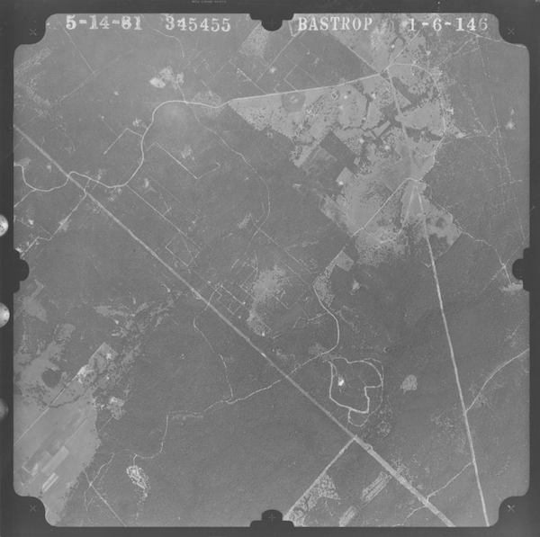
In my previous blog post, we explored the history of aerial photography. In this post, we will discuss the two main factors that determine the quality of aerial photography: scaling and resolution.
Scaling
Scaling is one of the more difficult aspects of aerial photography to explain. The original scale of the photo depends on the type of camera used, the altitude of the flight, and the purpose of the flight. The various types of cameras used to capture images from above include aerial mapping cameras, reconnaissance cameras, strip cameras, panoramic cameras, multi-lens cameras, and digital cameras.
Scales are typically denoted as a ratio of inches or as inches to feet or miles. For example, 1:24,000 is the same as 1”=2,000’ or 1”=0.378 miles. The original scale also affects the quality of the photo when zoomed at closer levels. The smaller the scale of the original photo, the better the clarity when zoomed-in closely – compared to a higher-scaled photo of the same resolution. Likewise, photos with higher resolution provide a better opportunity for clearer magnification of certain features on a photograph.
Resolution
Resolution can be characterized in two different ways: dots-per-inch (DPI) and spatial accuracy. DPI constitutes the resolution in which the original frame or film was scanned as well as exported digitally. DPI resolution of an image will only be as good as the resolution in which the digital image was first scanned. For example, if the original frame is scanned at 600 DPI, exporting a digital image at 1,000 DPI of the same frame will look no better than it would exporting at 600 DPI.
Resolution in terms of spatial accuracy is generally described as 1-meter resolution or 3-meter resolution. The smaller the denomination is, the higher the quality and spatial accuracy. For example, most current NAIP imagery is collected at 1-meter resolution, which provides plenty of clarity to view buildings and other structures as opposed to older NAIP imagery, which is generally closer to a 2-meter resolution.
Keep in mind when ordering aerial photography that higher resolution images generate larger file sizes, making high-resolution photos of large areas more difficult to view, manipulate, export, and transfer without the proper software.
Hopefully this post provides you with a better understanding of the factors behind the quality and clarity of aerial photography. In addition to availability images, scaling and resolution are often limiting factors in obtaining high-quality, easy-to-view imagery.
 Until next time,
Adam Marshall
Program Manager – Aerials & Historic Mapping
amarshall@banksinfo.com

