Data Resources for Environmental Professionals
Banks is your reliable partner for nationwide Phase I ESA data resources, regulatory environmental compliance services, and environmental record file research.
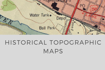
Our comprehensive range of Phase I ASTM products for All Appropriate Inquiries includes environmental database reports, water well database searches, chain of title and lien searches, historical aerial photos, historical USGS topographic maps, as well as oil & gas well database searches.
Phase I ESA Packages
Standard ESA Package
- Regulatory Database Report
- Historical Aerials
- Historical Topos
- City Directory Search
Basic Package (Phase I ESA)
- Regulatory Database Report
- Historical Aerials
- Historical Topos
Essentials Package
- Regulatory Database Report
- Historical Aerials
- Water Well Report
- Oil / Gas Well Report
- City Directory
- Environmental Lien Search
- Chain of Title
- File Research + Record Requests (TCEQ, EPA, etc)
- Floodplain Map
- NEPA Checklist Review
- USGS Topo Map
- Wetlands Map
Other Products + Services
Banks has produced many environmental database reports for us, often on short notice. Their products are timely, thorough, and reasonably priced. I can recommend them for anyone needing database reports for environmental assessments.
David BezansonManager at The Nature Conservancy
I have used Banks Environmental for the last four years. My customers appreciate how they can interpret the various data reports with confidence. Banks Environmental responds on a timely basis to my requests for data and has competitive pricing.
James C. Jones, IITexas Geoscientist
REESCO relies exclusively upon the ASTM Database Report prepared by The Banks Group. The Banks report format presents the data with efficient clarity and completeness, making these reports models of concise data presentation. Banks always provides cost-effective and timely solutions to the environmental consulting community.
John DupuyPresident/Geologist at REESCO

